
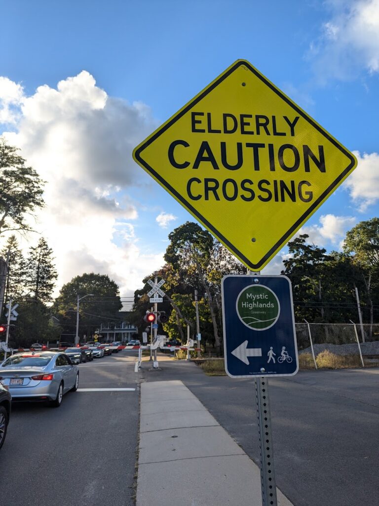
Over the past few weeks, you may have noticed new signs popping up around Melrose bearing the name “Mystic Highlands Greenway.” The Mystic Highlands Greenway is a collaborative multi-community project coordinated by MAPC and State Senator Jason Lewis’ office to create a “visioning” corridor connecting the Northern Strand Trail to the Tri-Community Path and the future Wakefield-Lynnfield Rail Trail.
The goal of the Mystic Highlands Greenway (MHG) is to develop a safe and inviting corridor for walking and cycling that connects several town centers, parks, transit, and established regional trail corridors. Included municipalities include Malden, Melrose, Wakefield, Stoneham, and Reading […] The MHG is envisioned as a corridor with priority for bicycling and walking, largely on low traffic residential streets as well protected bike lanes and sidewalks on the busier streets. As there is no former rail bed or other corridor available, the greenway largely will be located on the public street right-of-way.
– MAPC Website
You can view a map of the Mystic Highlands Greenway here, on the Bike to the Sea website. Funding for the consulting and signage on the project was made possible through a MassTrails grant. Senator Lewis’ office invited numerous local advocacy groups to participate in the project’s conception, including our Committee. We appreciate Senator Lewis’ considerable efforts to achieve a collaborative process involving multiple municipalities and legislative officials. In Melrose, the route begins with the painted bike lanes on “Lower Main” before utilizing Myrtle/Berwick to connect to Tremont Street. After hitting the Highlands, the route uses Renwick to connect to Greenwood, in Stoneham, via “neighborhood” streets.
This routing was ultimately chosen by the working group as a hybrid of direct connections and lower-stress sidestreets. This creates a sort of compromise; neighborhood streets will prove more comfortable to walkers and bikers today, but the hope is that the existence of the corridor will provide further support for actual future infrastructure improvements should funding become available. For example, in Melrose, the reconfiguration of “Lower Main” street initially piloted a “protected” bicycle lane, before Public Works and Mayor Brodeur’s office ultimately settled on a door-zone painted lane. Had the city already collaborated on the MHG route via Main Street, the project may have unfolded differently, and a more safety-oriented approach could have been achieved. As it stands, the MHG provides a template for future walking- and biking-focused infrastructure in the city. The fact that the route does not include the downtown business core does not preclude future walking and biking enhancements from being made in those neighborhoods.
If you have questions or comments about the route, you can always feel free to let us know, or reach out to MAPC or Senator Lewis’ office.